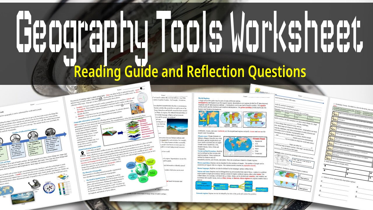
Geography Tools worksheet is a reading guide with engaging visuals and reflection questions with graphic organizers and vocabulary activity.
This was made for World History and Geography Pre-AP middle school but can be used for history and geography courses in high school as well.

Reading Guided worksheet that covers all the important map skills for both Geography and Social studies students.
Topics Covered:
- Types of Maps
- Latitude and Longitude
- Geographical tools
- How to read maps
- How to read coordinates
- Absolute and relative locations.
Reading guided activities include guided reading questions, vocabulary, and mapping coordinates on the US Map.

Map activity of the European Union countries. Students will locate, label and then color in the current countries of the EU.

Mapping Activity for when learning about the Scramble for Africa and how European nations divided up Africa at the Berlin Conference.

Mapping Activity. Students write all the different products, plants, animals, etc.. that was exchanged from North America to Europe, Asia and Africa and back.

Mapping Activity of the Triangular Trade. Students map out the trade that makes up The Triangular Trade Routes.
Create Your Own Website With Webador